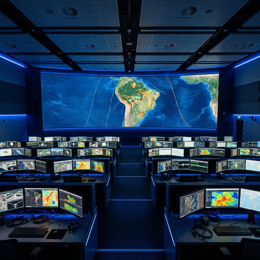
NumBird Operations Center
About the Platform

NumBird isn't just drones.
It's an intelligent ecosystem
that never sleeps.

24/7 autonomous drone operations with real-time satellite integration, edge AI processing, and multi-source data fusion. The sovereign intelligence infrastructure for governments and enterprises.
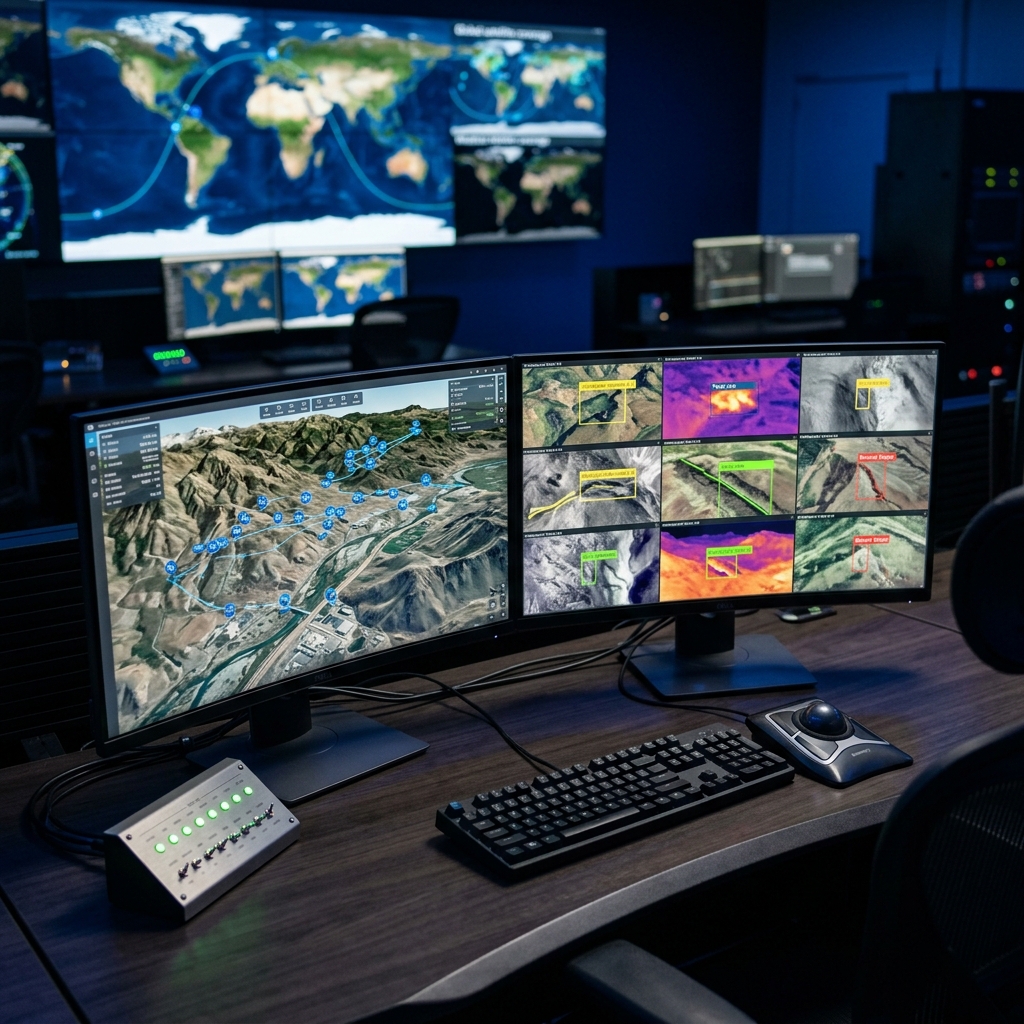
Core Capabilities

Four layers of autonomous intelligence.

01

24/7 Autonomous Fleet

Self-coordinating drones with automatic charging stations. Continuous monitoring without human intervention. One fleet covers entire regions.

02

Satellite Integration

Fused data from Google Earth Engine, NASA Sentinel, and real-time drone imagery. 26 years of multispectral history for comprehensive intelligence.

03

Edge AI Processing

Onboard NVIDIA Jetson AI processes data in real-time. Instant insights at the edge — no cloud latency. Decisions made on-drone in milliseconds.

04

Multi-Source Data Fusion

Drone, satellite, IoT sensors, and external APIs unified in one analytics platform. Google BigQuery processes petabytes of geospatial data.

NumBird AI Mission Orchestrator — natural language drone control with real-time analytics
AI Mission Orchestrator

Describe the mission.
AI handles the rest.

Natural language AI assistant that plans, executes, and analyzes autonomous missions. Optimal flight paths, battery management, weather adaptation — all automated.

Voice-Activated Control Autonomous Planning Real-Time Analytics Predictive Intelligence
Industries We Transform

From mineral exploration to smart cities —
autonomous intelligence for critical missions.

Critical Resource Exploration

MineralScan — sovereign mineral intelligence platform. 300K+ claims scored with AI probability modeling across 5 countries.

  • Spectral signature detection
  • AI probability modeling (0–100)
  • 7-sensor autonomous drone survey
  • Investor-ready intelligence reports

Precision Agriculture

Multi-spectral crop health monitoring, irrigation optimization, yield prediction with satellite baseline comparison.

  • NDVI vegetation analysis
  • Thermal stress detection
  • Pest & disease early warning
  • Precision spraying coordination

Disaster Response

Real-time crisis monitoring: landslides, floods, dam failures, wildfires. Immediate deployment, continuous assessment.

  • 24/7 critical area surveillance
  • Thermal hotspot detection
  • Flood extent mapping
  • Evacuation route planning

Infrastructure & Smart Cities

Automated inspection of roads, bridges, buildings. Proactive maintenance through AI-detected anomalies. The sensing backbone for smart cities.

  • Crack/damage detection (mm precision)
  • Bridge structural health monitoring
  • Road surface analysis
  • Urban heat island mapping

Security & Border Monitoring

Perimeter surveillance, intrusion detection, asset protection with real-time AI alerts and autonomous response.

  • Motion & anomaly detection
  • Vehicle tracking & classification
  • Automated alert escalation
  • Border perimeter coverage

Extraterrestrial Exploration

Autonomous drone fleet technology adapted for planetary missions. Remote AI analysis without Earth communication delay.

  • Autonomous navigation (no GPS)
  • Edge AI decision-making
  • Sample site identification
  • Terrain mapping & hazard detection
Infrastructure

Built on what the best use.

The same cloud infrastructure that powers Google Search, the same satellite data that NASA uses, the same edge AI that drives autonomous vehicles.

Google Cloud Platform

BigQuery · Earth Engine · Pub/Sub · Cloud Run · Vertex AI

NASA / ESA Sentinel

26 years of multispectral satellite data · Global coverage

NVIDIA Edge AI

Jetson Orin · TensorRT · Real-time onboard inference

Open Source ML

YOLOv8 · ARIMA · GNN · XGBoost · Custom spectral models

Ready to see what you're missing?

Join the autonomous intelligence revolution. Get a personalized demonstration of NumBird's capabilities for your industry.