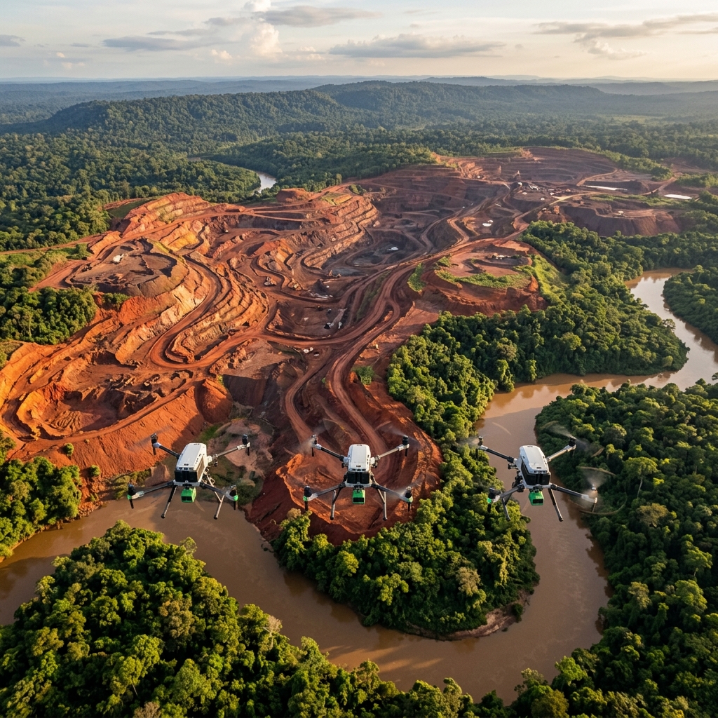
NumBird autonomous drone fleet
Autonomous Intelligence Fleet

We see what the world
is blind to.

Drones, satellites, ground sensors, and 18 AI models working together to predict where the next discovery will be.
5
Countries Live
300K+
Claims Analyzed
18
AI Models in Production
96
Enterprise API Endpoints
How It Works

Three layers of intelligence.
One unified platform.

NumBird combines autonomous aerial systems, satellite data, and ground sensors into a single predictive intelligence engine.

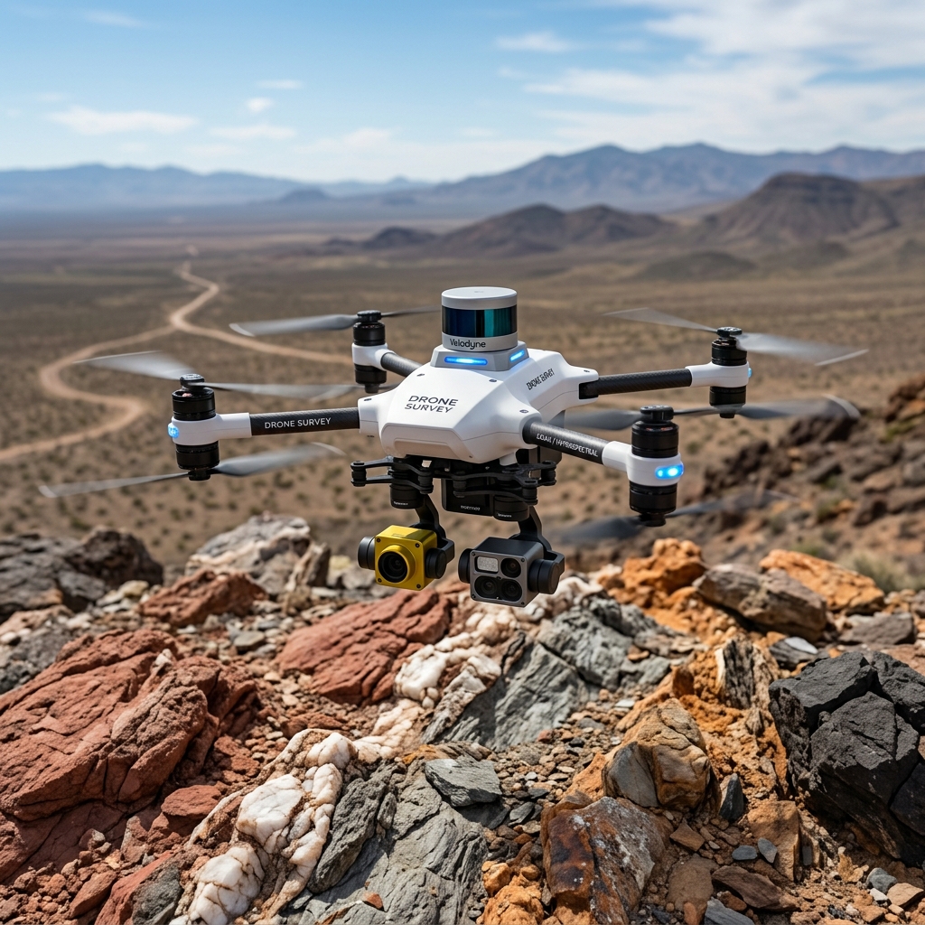
NumBird autonomous survey drone with LiDAR and hyperspectral sensors over mineral terrain

Autonomous Drone Fleet

LiDAR, hyperspectral, and thermal imaging at 100 meters. Resolution that satellites cannot match. One fleet, every mission.

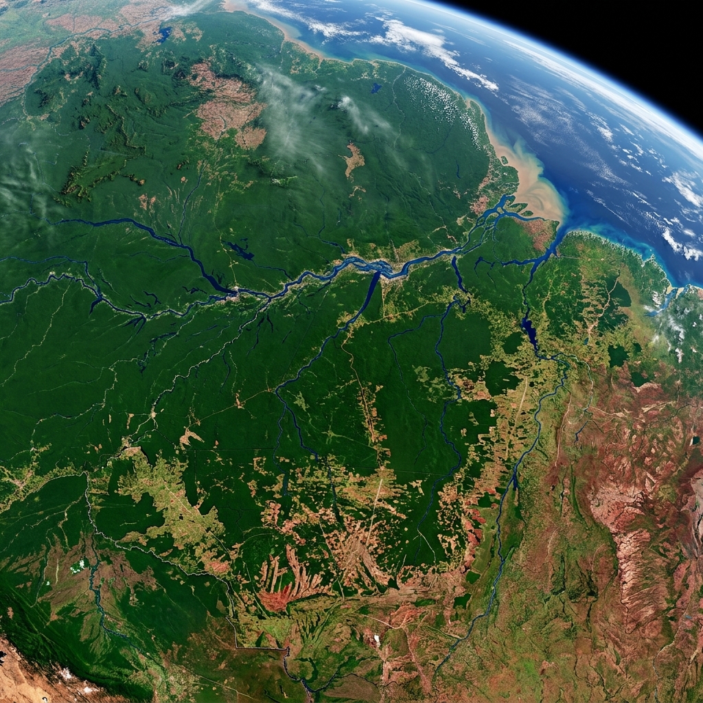
NASA Sentinel satellite view of South America showing mineral deposits and river systems

Satellite Intelligence

26 years of Sentinel data. Every square meter. Every pixel, a story. Continuous monitoring from orbit to inform every decision.

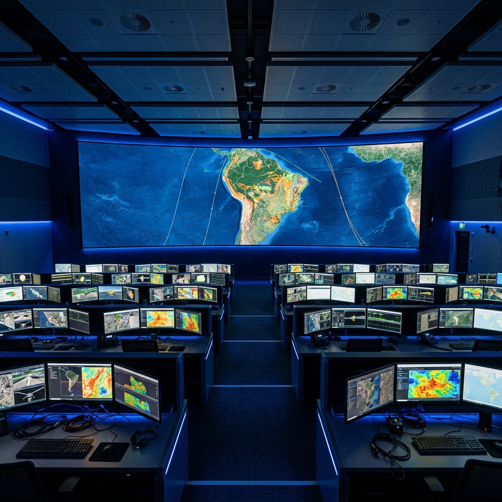
NASA-inspired mission control center with tiered workstations showing geospatial intelligence across South America

AI Prediction Engine

18 models in production on Google Cloud. BigQuery, Earth Engine, and custom ML — processing petabytes of geospatial data in real time.

Flagship Product

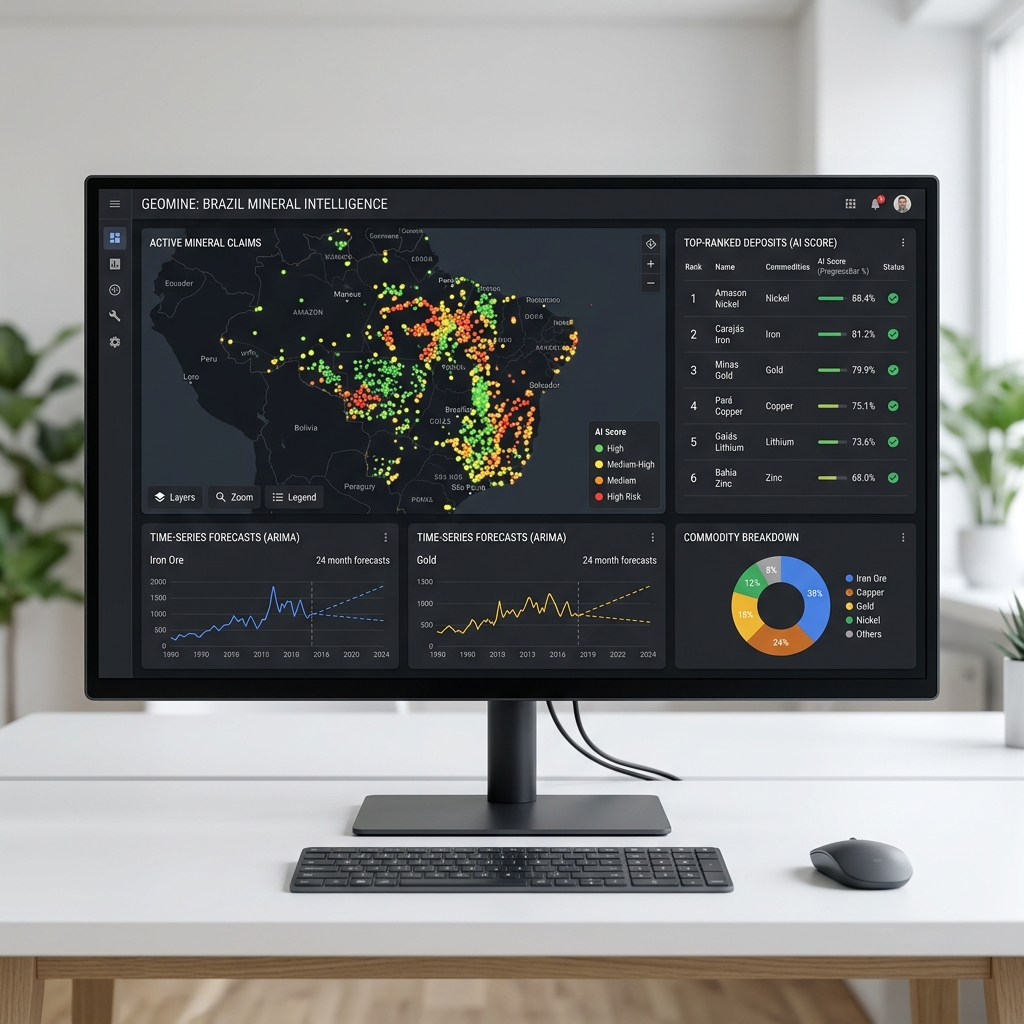
MineralScan

Our sovereign intelligence platform doesn't show data — it predicts where the next mineral discovery will be. Spectral signatures, geochemical surveys, terrain models. Every layer analyzed, every deposit ranked.

300K+
Claims Scored
96
API Endpoints
18
ML Models
🇧🇷 Brazil 🇵🇾 Paraguay 🇩🇴 Dominican Republic 🇱🇷 Liberia 🇲🇽 Mexico
MineralScan sovereign intelligence platform — AI-scored mineral claims, ARIMA forecasts, and commodity analysis across Brazil
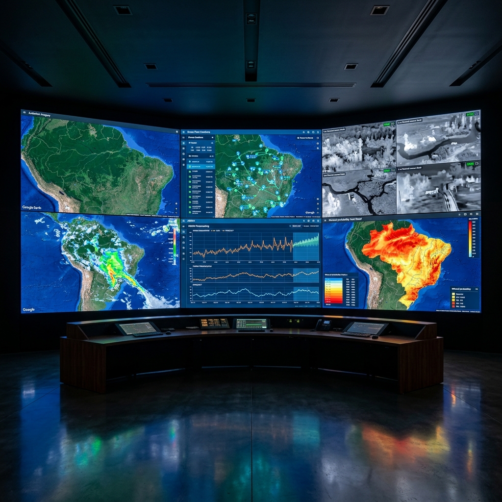
NumBird sovereign operations center — multi-mission video wall showing satellite imagery, drone fleet positions, weather radar, ARIMA forecasts, and mineral probability maps across Brazil
Operations Center

Multi-mission. Real-time. Sovereign.

Simultaneous coverage of satellite feeds, drone fleet telemetry, weather systems, spectral analysis, and AI forecasts — all in one operations center powered by Google Cloud and NASA-grade infrastructure.

Google Earth Engine BigQuery ML Sentinel-2 LiDAR Processing ARIMA Forecasting
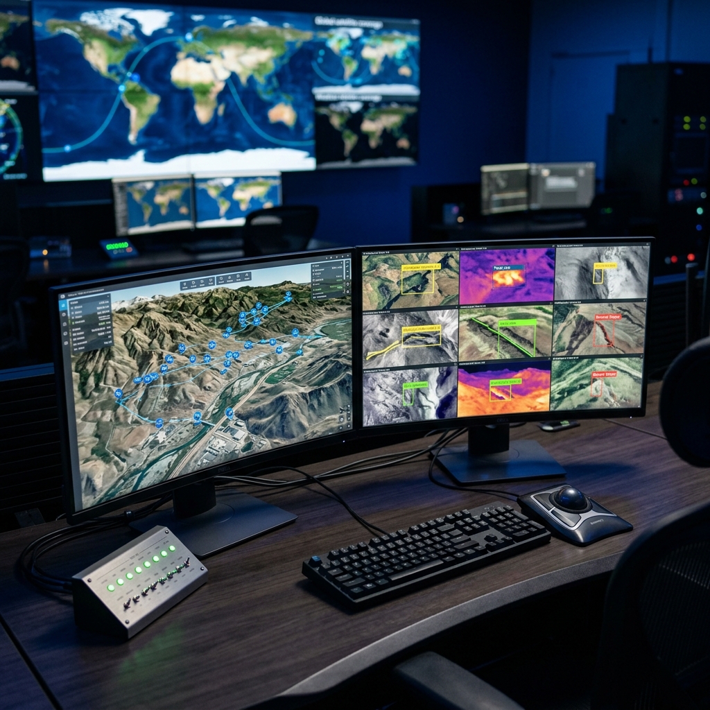
Intelligence Workstation

Every mission.
Every sensor.
One screen.

Drone 3D terrain mapping with AI-detected geological anomalies. Live multispectral feeds with thermal overlays. Global satellite coverage tracking — all from a single analyst workstation.

7 Sensor Types
24/7 Continuous
<2s Latency
Mission control workstation showing 3D terrain mapping with drone positions and live multispectral camera feeds with AI anomaly detection
Industries

Built for the missions that matter.

From mineral exploration to critical infrastructure — autonomous intelligence deployed where humans shouldn't go.

Mining & Exploration

AI-scored mineral claims, deposit prediction, and spectral analysis across entire countries.

Agriculture

Multi-spectral crop health, irrigation optimization, and yield prediction with satellite baselines.

Infrastructure

Automated inspection of roads, bridges, and power lines. mm-precision crack detection and structural health monitoring.

Disaster Response

Real-time crisis assessment — floods, landslides, wildfires, dam failures. Instant deployment, continuous coverage.

Defense & Security

Perimeter surveillance, border monitoring, and autonomous threat detection with real-time AI alerts.

The Film

$14 trillion hidden beneath the surface.

They dig blind. We don't.

Ready to see what
you're missing?

Schedule a briefing with our team. We'll show you what NumBird sees in the territory that matters to you.

contact@thenumbird.com
5 Countries · 24/7 Operations